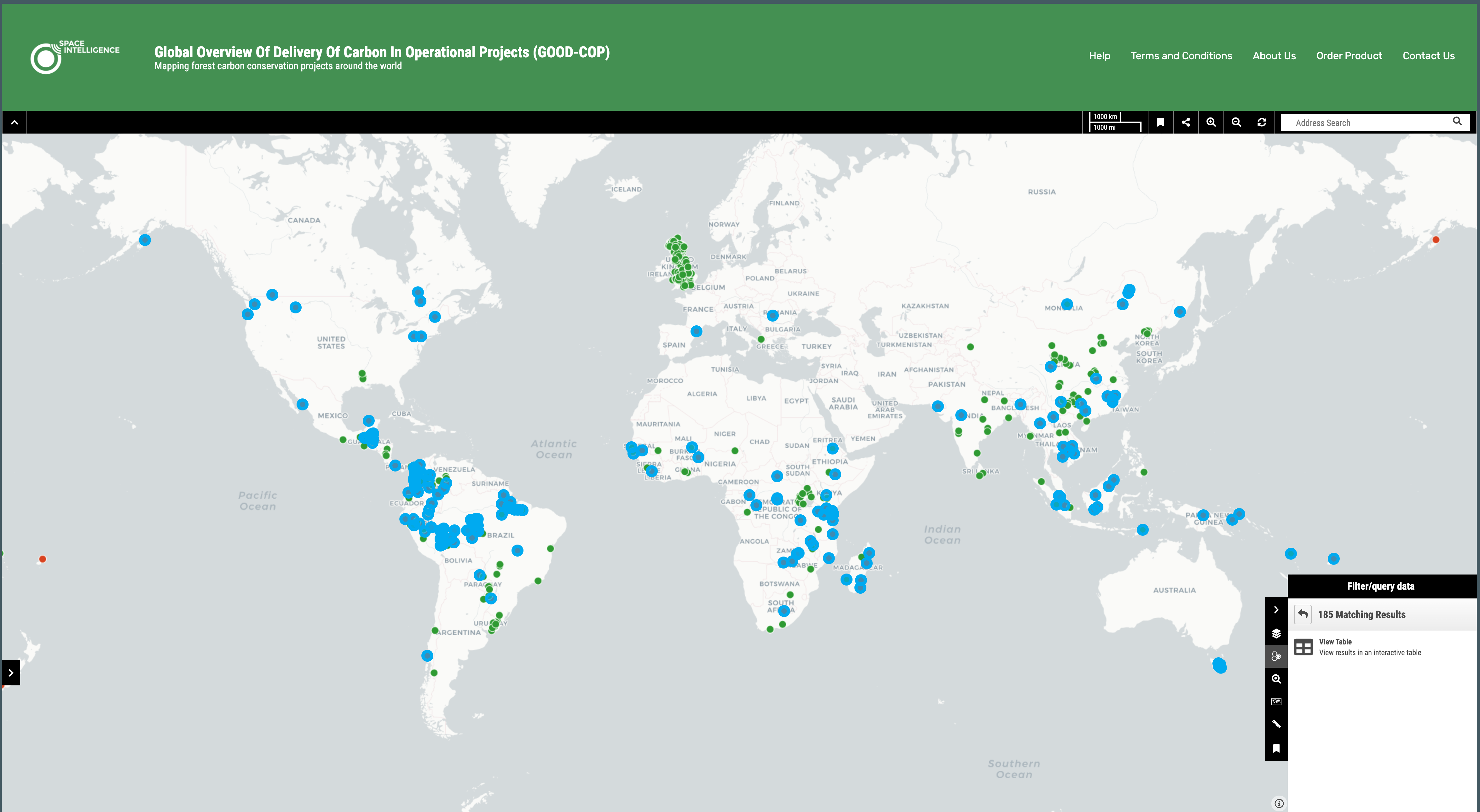
Global Overview Of Delivery Of Carbon In Operational Projects (GOOD-COP)
Mapping forest carbon conservation projects around the world
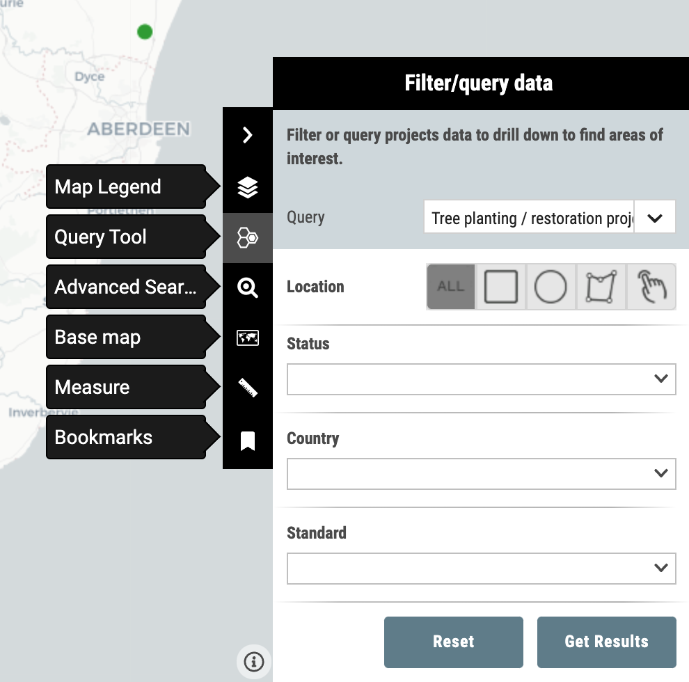
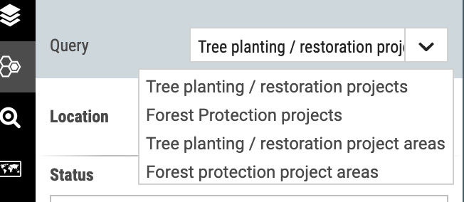
Tree planting / restoration projects
Location of certified projects undertaking tree planting or restoration activities.
Tree planting / restoration project areas
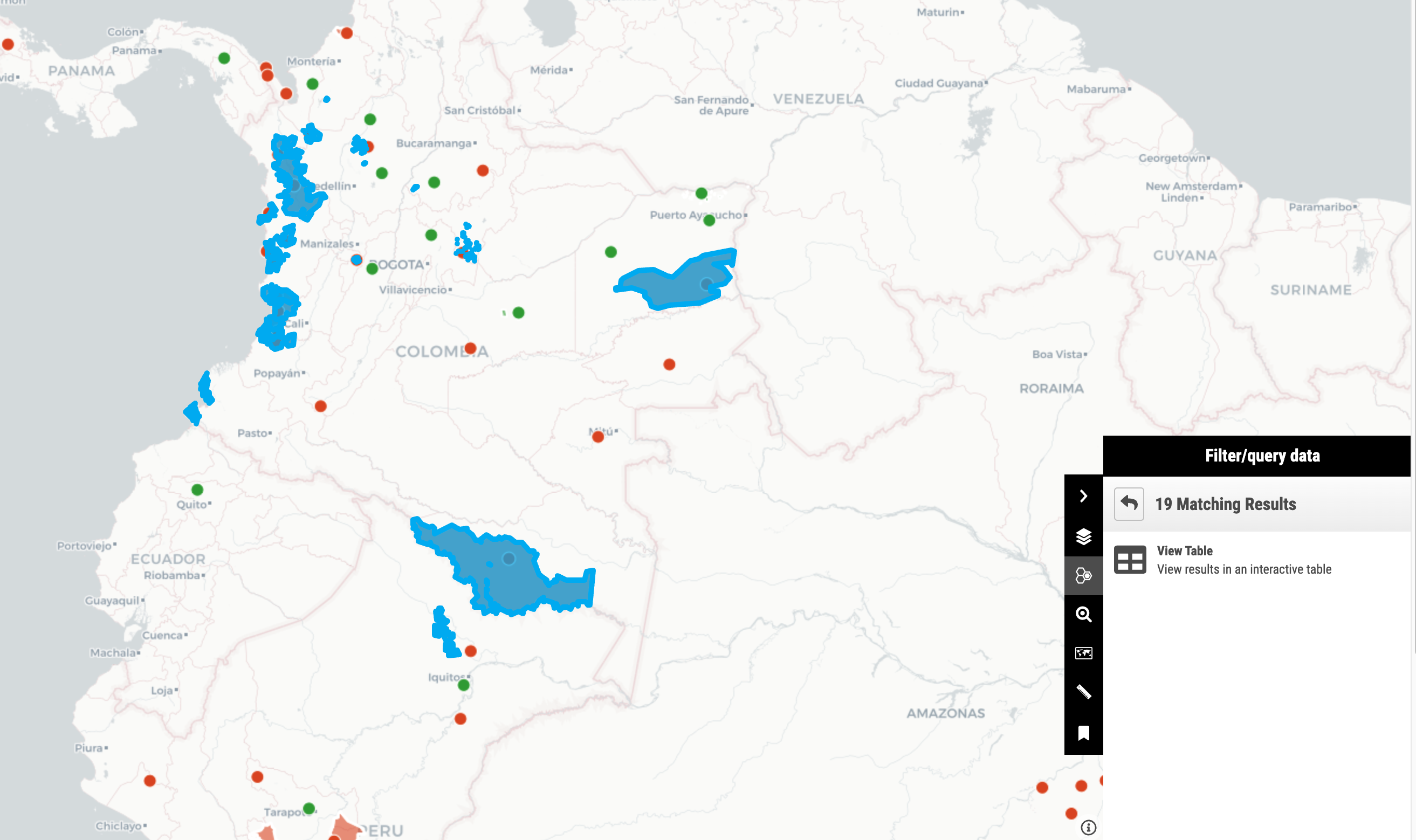
Project area boundaries (Note: not all Verra projects provide boundary data, these are shown by a point only)
See the Help section for more details.
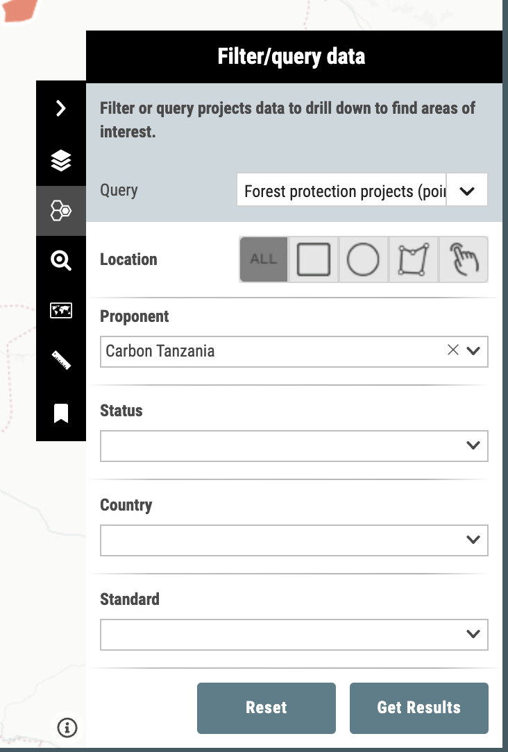
Forest protection projects
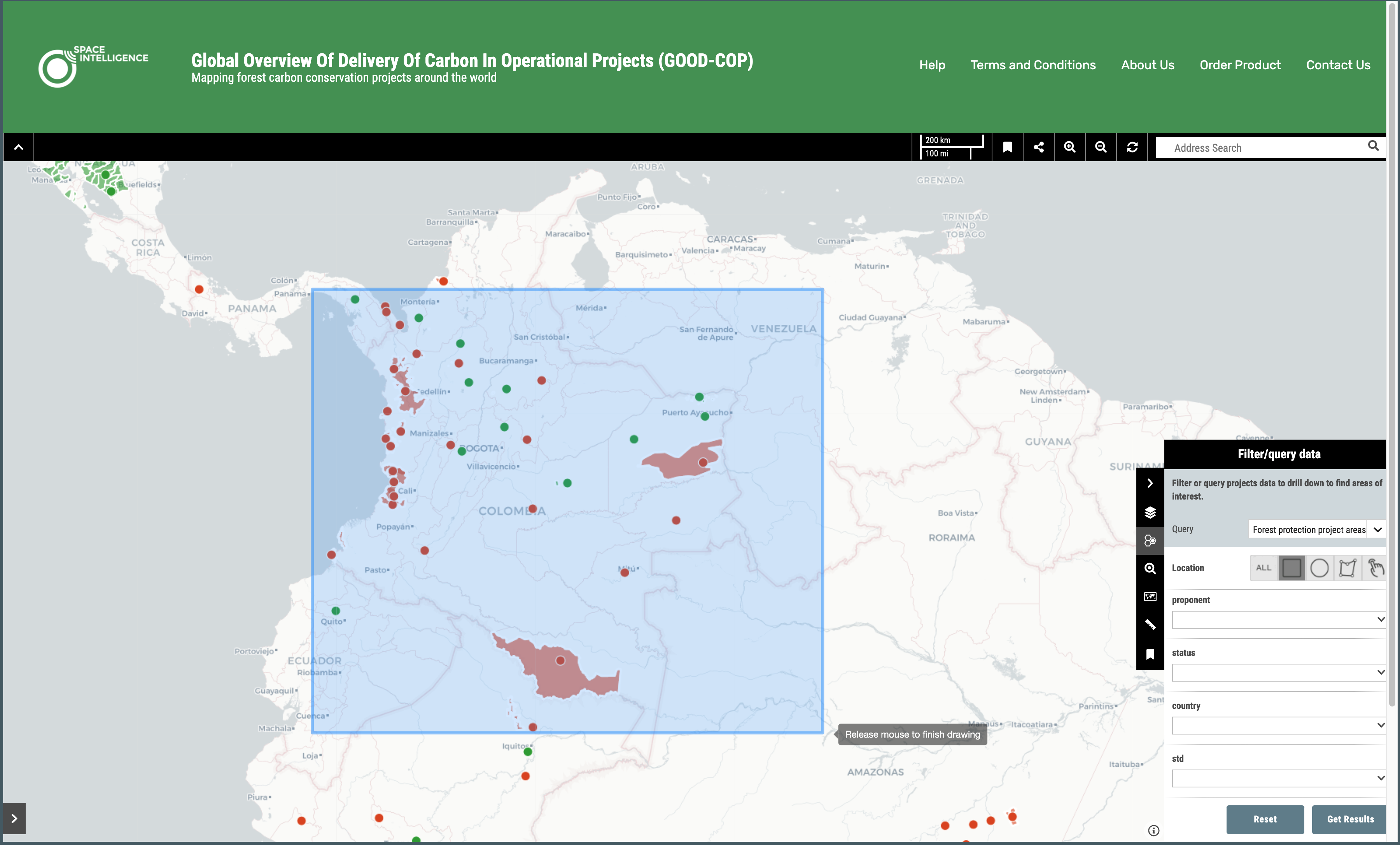
Location of certified projects undertaking forest protection activities.
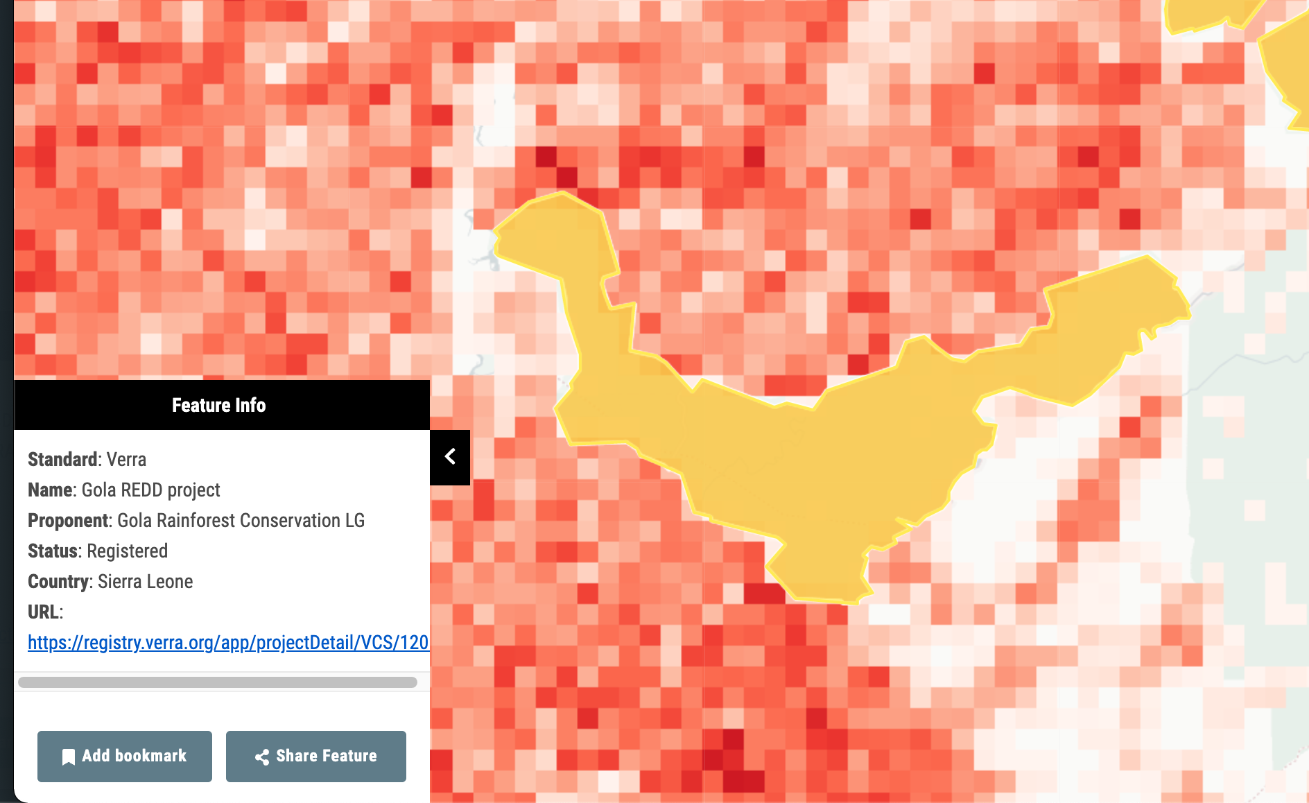
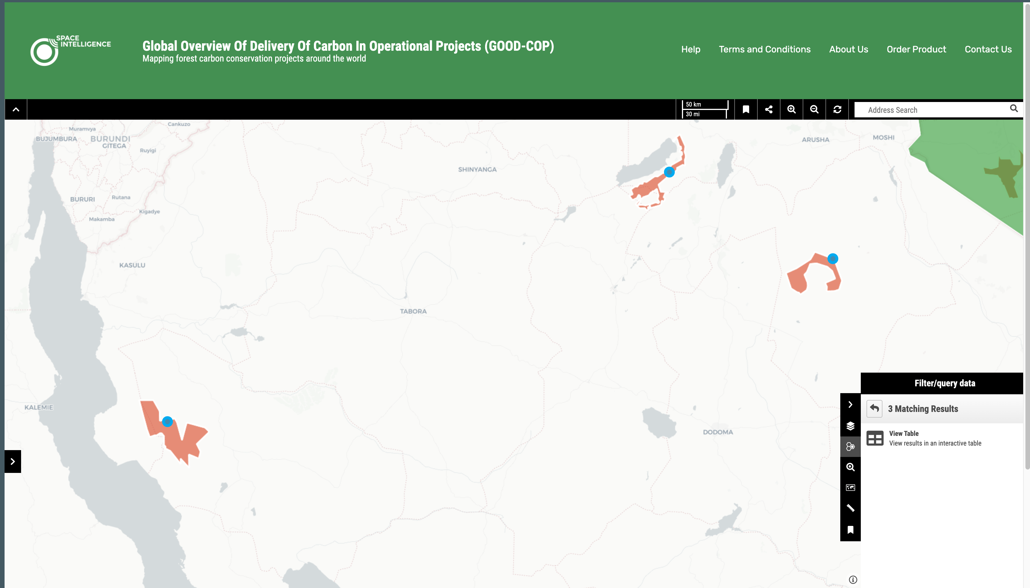
Forest protection project areas
Project area boundaries (Note: not all Verra projects provide boundary data, these are shown by a point only)
See the Help section for more details.
Deforestation Intensity
Derived from Hansen Global Forest Change 2000–2020 Loss Year data and resampled to 0.01º resolution.
Percent of pixel cleared
Protected Areas
Derived from the World Database on Protected Areas (WDPA) licensed by the IBAT Alliance. Note: some countries do not provide data on protected areas, therefore absence of being in a protected area does not necessarily indicate unprotected areas.
Measure distances
Measure areas
